INSIDE KROK
Built for five days off-grid.
Every feature runs offline on the board. The screen only draws when something changes, and every control is documented in the Field Manual.
01 · MAPS & NAVIGATION
Topographic sheets at hiking scale


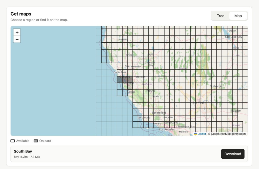
- 0.5° vector sheets (~55 km north-to-south) stored on the microSD card. Download them on the device (Manual §06), via the Wi-Fi page, or from the Maps grid.
- One stroke, one meaning: zoom 12–16, 20 m contours with heights, cased roads, dashed trails vs tracks vs footways, streams, lakes, tree symbols, scree, cliffs, peaks with heights, camps, water sources, and trailheads.
- Fast marker window: north-up by default. As you walk, only the small window around your arrow refreshes (~143 ms), keeping battery draw minimal and the sheet still.
- Touch pan & zoom: drag across a fast dot grid to inspect ahead; press the Function button (Manual §02) to jump back to your GPS position.
02 · TRAILS & RECORDING
Routes, elevation profiles, and GPX logs


- Planned GPX routes (Manual §08): view total distance, climb, descent, and time before starting. Show on map fits the entire route and draws it as a bold dashed line.
- Interactive elevation profile: scrub along the route with your finger to see the height at any point and remaining climb to the finish. Routes without
<ele>tags are filled automatically from the map’s built-in DEM grid. - Explicit walk recorder (Manual §07): touch-only Start, Pause, Resume, and Finish on the bottom bar so a pocket press never stops your walk. Auto-pauses after 20 minutes standing still, and safely closes the GPX file at 3% battery.
- 24-hour temperature log (Manual §10): samples the battery sensor every 10 minutes with an interactive min/max scrub graph.
03 · LORA MESH (OPTIONAL)
Your group on the map, with zero cell coverage

- Meshtastic compatible (915 MHz LongFast): off by default in Settings → Radio. Works alongside standard Meshtastic nodes and phones (scan the on-screen QR to add your private 6-digit group channel).
- Companions on the sheet: see group members as initialed rings on your topo map; tap any ring for distance, bearing, fix age, and battery, or turn on a guide line.
- Chat, pins & SOS: send quick preset phrases or type on the keyboard, long-press the map to drop Meet / Camp / Water / Danger pins, or trigger an SOS broadcast.
04 · LIBRARY & SURVIVAL GUIDE
240 field articles and your own books


- Built-in Survival Guide (Manual §09): 240 articles across 19 sections (first aid, hypothermia, water, shelter, knots, avalanche, signaling) with 125 1-bit diagrams and instant full-text search.
- E-paper book reader: drop
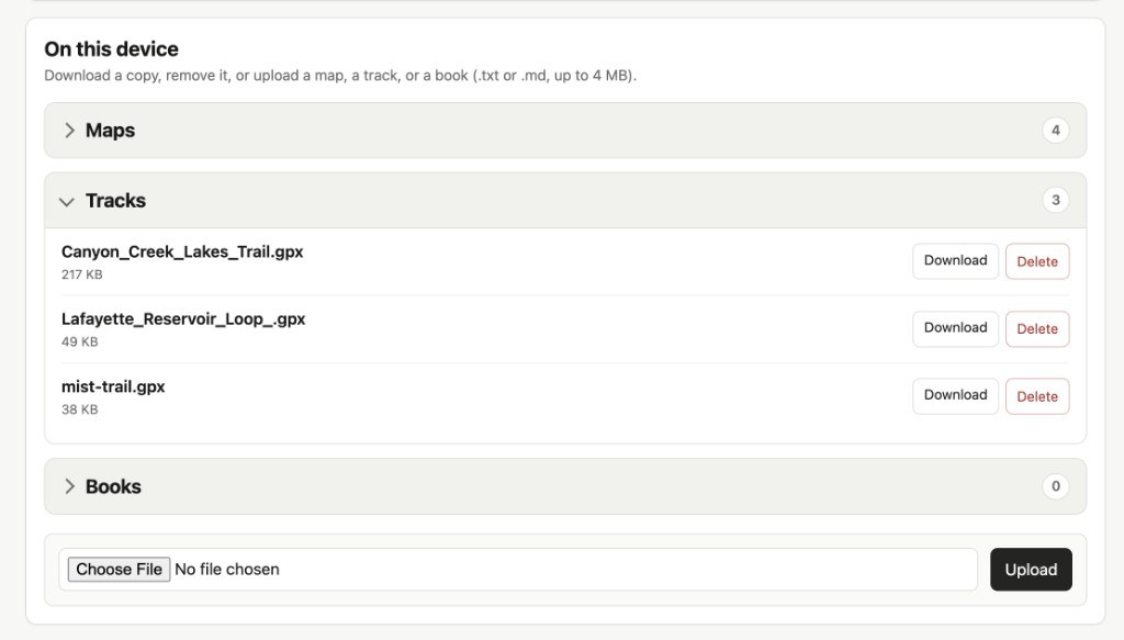
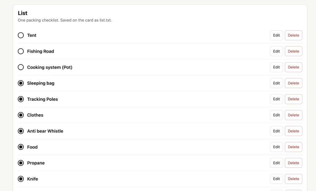
.txtand.mdfiles into/books(up to 4 MB each). Typeset in Source Serif 4 with three text sizes and persistent reading position. - Camp utilities (Manual §10): landscape analogue Clock, packing List, and live map Legend.
05 · WI-FI LOADER
One browser page for maps, tracks, books, and lists

Open File transfer (Manual §11) on the device to join your home Wi-Fi or start a standalone Krok-XXXX hotspot. Point any phone or laptop browser to the address on the screen:
06 · POWER, UPDATES & HONEST LIMITS
How it sleeps — and what it is not
- Automatic sleep policy (Manual §14): live 1 Hz updates while you actively look or walk unlocked; quiet 30-second sampling in your pocket; deep sleep with the map left on the screen after 15 minutes still.
- Signed OTA & SD updates (Manual §12): update firmware and the survival guide over Wi-Fi or from
/update/on the SD card, with automatic rollback if a boot fails. - What Krok is not: no turn-by-turn voice prompts, no automatic rerouting, no compass or barometer (the board has neither), and not waterproof without a case (Manual §16).
READY TO HIKE
Get Krok on the trail
Try every feature free with one map sheet, buy the $30 lifetime licence key right now (even before flashing), or order a ready-to-hike pre-flashed device.